Goonoowigal State Conservation Area
ID: 56b2408ab042386245d48e1dInverell, New South Wales
Inverell,
New South Wales
2360.
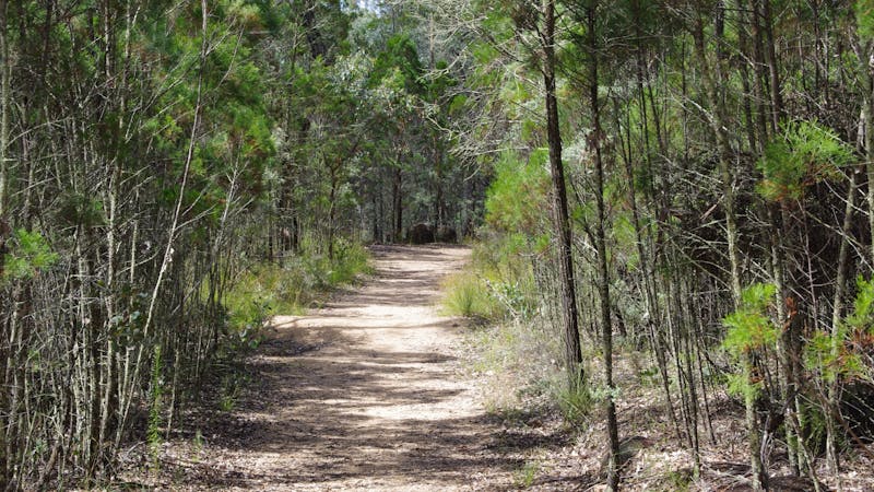
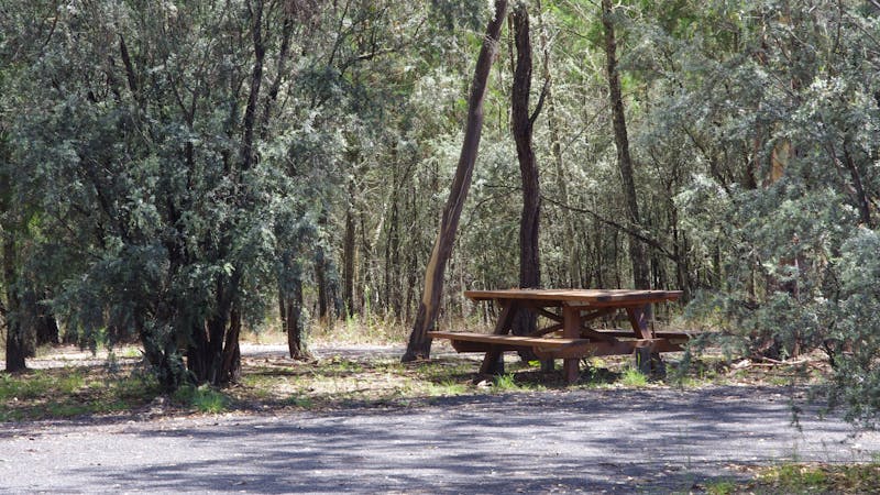
Goonoowigal is scenic granite country, with low hills and large boulders marking the skyline, and covers 1,055 hectares. The name Goonoowigal is a Jukumbal Aboriginal word meaning 'wallaby rocks', and it features 120 species of native birds, native fauna, remains of Chinese settlements earth covered for a large part, and 10 kilometres of marked walking tracks. Within the reserve is the Nhunta Karra Kara (a Jukumbal word for 'quiet and peaceful') Track to commemorate the Aboriginal families who made the Goonoowigal area - which became known as the Inverell "fringe dwellers" camp - their home until the 1970s. To listen to stories from local Aboriginal families who made this camp their home as you walk the track, download the Soundtrails App on your smartphone, and then download the Goonoowigal Soundtrail. This is a lovely area for a walk with 10kilometres of easy walking tracks through woodlands with small creeks to choose from. At the main entrance, you will find a grassy picnic area, toilet, barbecue and tables. Bring your own water. Dogs are not permitted....
Product Types
- National Parks and Reserves
- Natural Attractions
Tourism Organisation
- NSW - Local - Inverell Tourism
- NSW - Local - New England High Country
Facilities found here
- Barbeque
- Carpark
- Coach Parking
- Family Friendly
- Non Smoking
- Picnic Area
- Public Toilet
Activities you can engage in
- Birdwatching
- Walks
Back To Search